Features
Versatility.
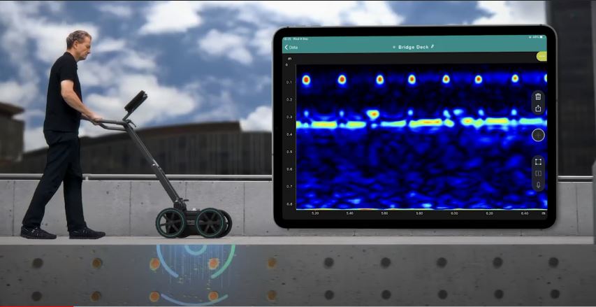
No methodology constraints and real time 2D & 3D data visualization of the scanned subsurface, for an optimal interpretation on site, no matter the application.
Accuracy & Resolution.
Superior clarity of data at different depths thanks to the unique Swiss Made ultra-wideband radar technology, with high-accuracy geolocation in local coordinates.
User Experience.
End-to-end workflows, all the way from the most intuitive data acquisition to instantly shareable deliverables. Access your data from anywhere, anytime.
Applications
Utility strike prevention / Subsurface utility engineering (SUE) / Underground 3D Reality Capture / Asset inspection (bridges, asphalt) / Geophysical investigations / Archeology / Forensics / Precision Agriculture
Download

